Project Description
Precision Technology. Pinpoint Accuracy.
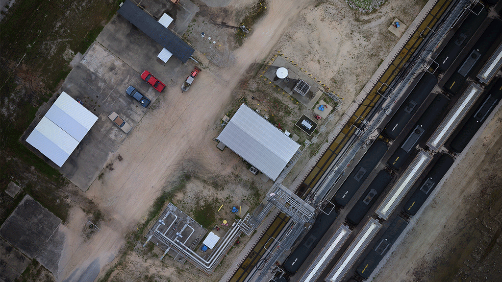
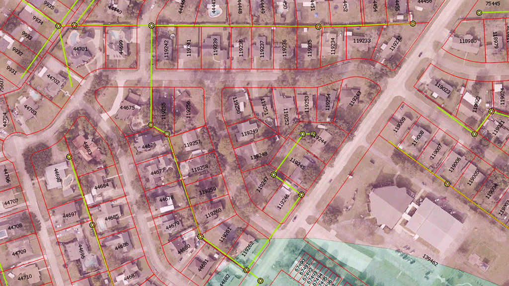
As part of Soutex’s surveying division, our geospatial/GIS services focus on the collection of new data, and the conversion of existing data for use in GIS applications. Our crews are equipped with some of the most technologically advanced systems in the industry, employing the use of drones, boats, scanners, GPS/GNSS receivers, and robotic total stations to tackle any geospatial data collection needs. Whether by land, air, or water, Soutex can collect the data and provide it in a multitude of geospatially referenced formats. Existing data can often, with a little work, be geospatially referenced as well and incorporated into your existing system or used as a foundation to build upon.
GIS Services:
- Aerial Imagery (sub centimeter accuracy)
- Mapping
- Data Collection (Survey Grade)
- Utilities
- Structures
- Roads, drives, and trails
- Any other significant features requested
- Existing Data Migration


