Project Description
Technology. Talent. Technique.
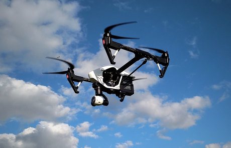
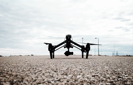
As new technologies are developed, Soutex explores the latest, most advanced means of serving its clients. The use of Unmanned Autonomous Systems (UAS) is our newest division incorporating our Unmanned Aerial Vehicles (UAV) and Autonomous Surface Vehicles (ASV). Through our progressive and diligent study, Soutex is masterly skilled and prepared to put these state-of-the-art technologies to use in conducting surveying, mapping, and inspection work.
Efficient.
There are many environments, such as refineries, wetlands, bridge infrastructures, and marine sites, where the use of UAS is safer, more environmentally friendly and efficient than having personnel on the ground or in the water using traditional methods of collecting data.
Accurate.
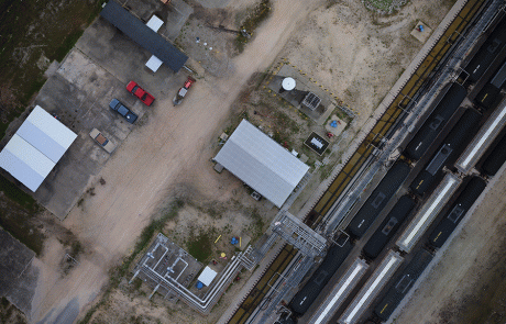
More accurate data can be obtained with the use of UAS than using traditional methods of surveying. The quantity of a stockpile, for example, can be determined with greater accuracy by scanning from the air using both nadir and oblique angle shots to obtain contours that are currently unable to be observed using ground based equipment. Scans of a work site before and after dirt work has been done can provide more accurate quantities of the material that was used to fill in or build up the work site. Having more accurate data such as this can benefit our clients by better estimating costs and providing more accurate invoicing for their projects.
Revolutionary.
We believe this breakthrough technology has the potential to revolutionize the way some surveying and inspection tasks are accomplished, ultimately providing solid, conclusive data to our clients.
- Aerial Surveying
- 3D Modeling
- Volume Calculations
- Commercial Shoots
- Real Estate
- Construction
- Inspections (Bridges, Structural, Flare Stacks, Shoreline Erosion, Etc.)
- Google Earth
- Point Cloud Generations – (LAS, LAZ, XYZ, TXT, SHP, DXF, PDF, GEOTIFF)
- Hydrographic Surveys
- Waterways
- Canals
- Ponds, Ditches
- Side Scan Imagery
- ASV Photography & Video